Unmanned aerial vehicle (UAV)
Optimized & Industry-ready Solutions
For All Your Complicated Needs
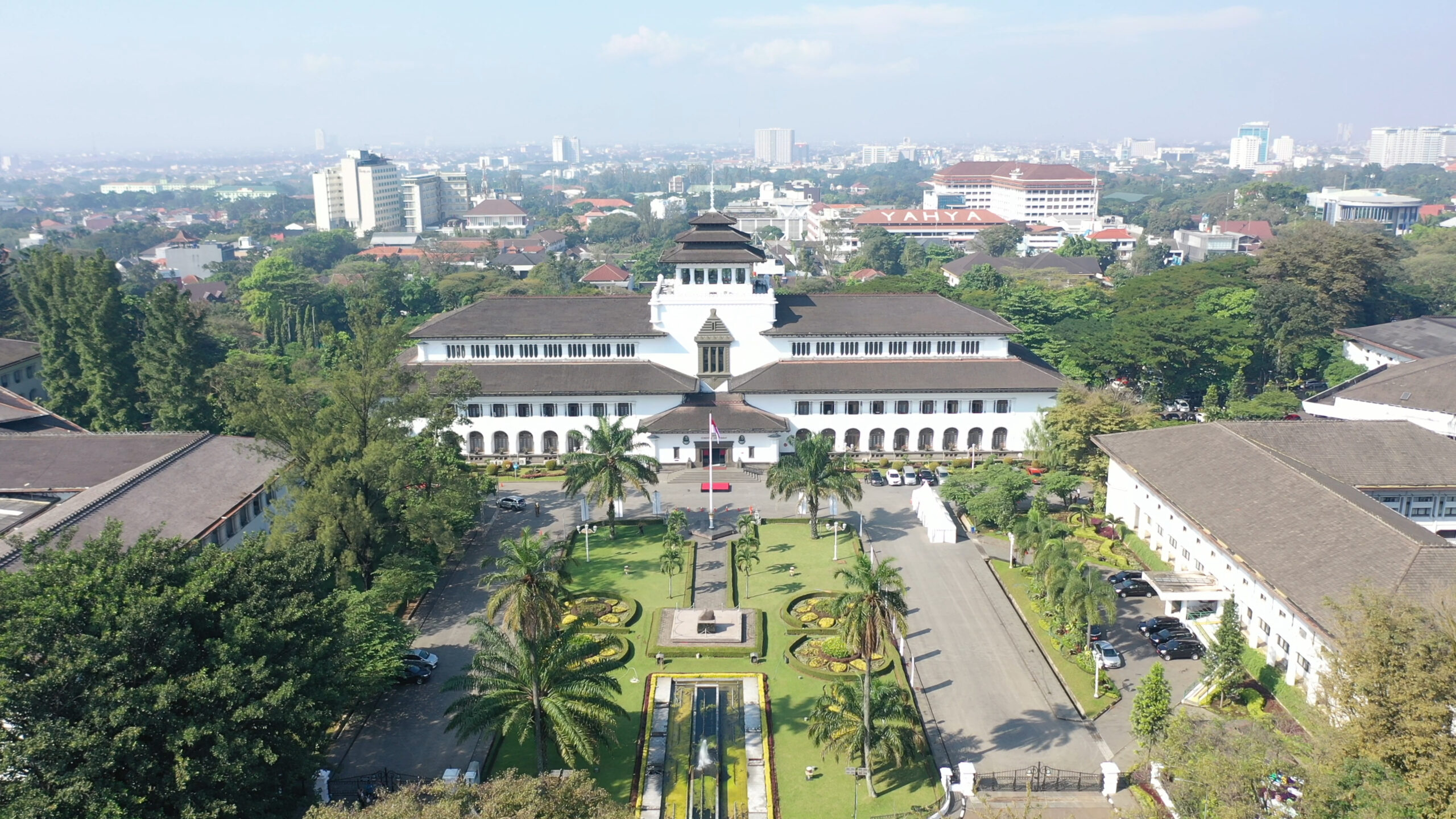
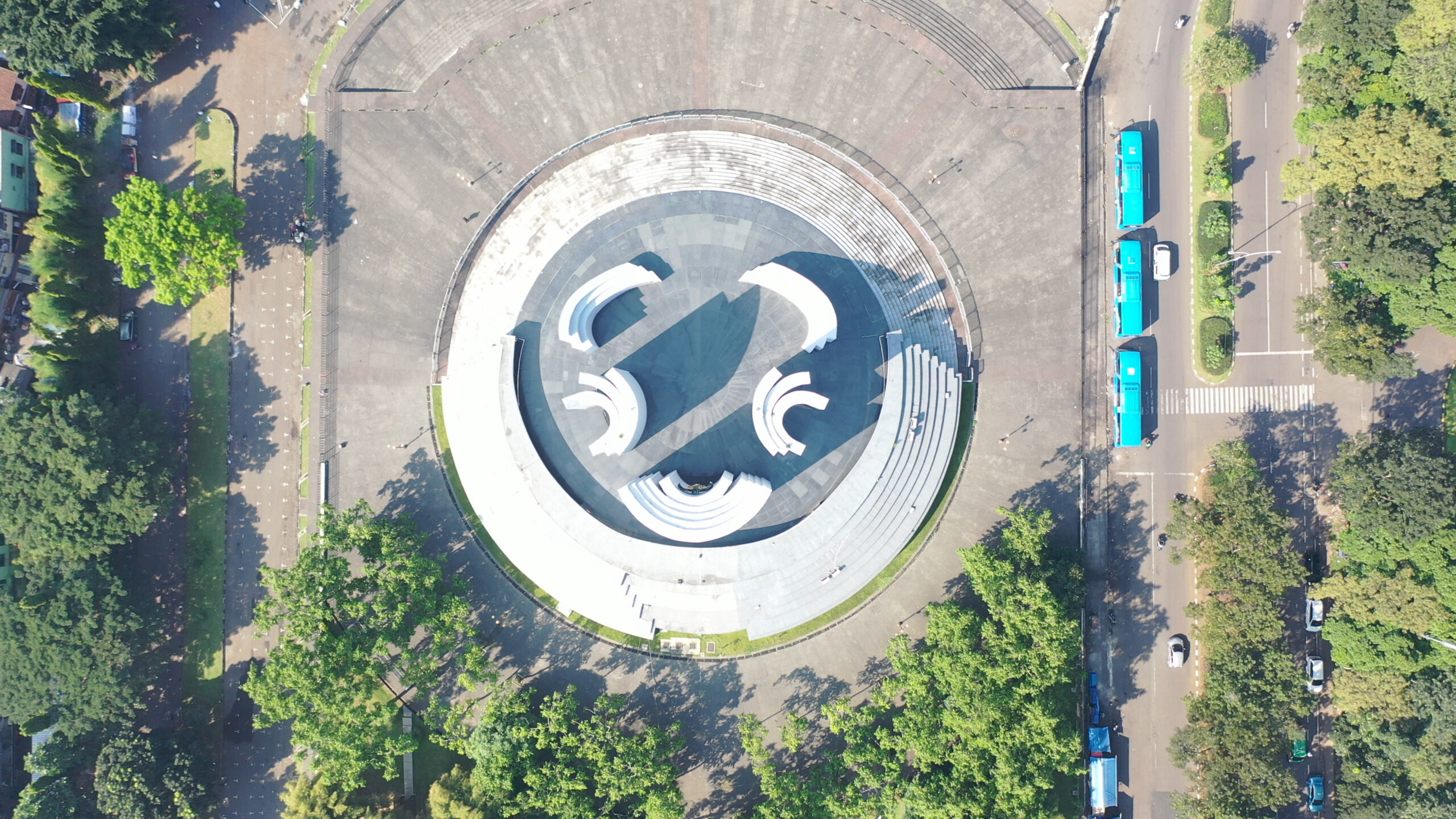
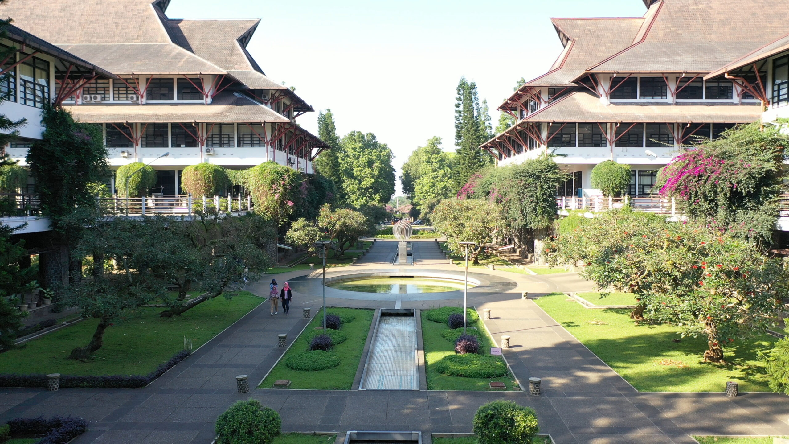
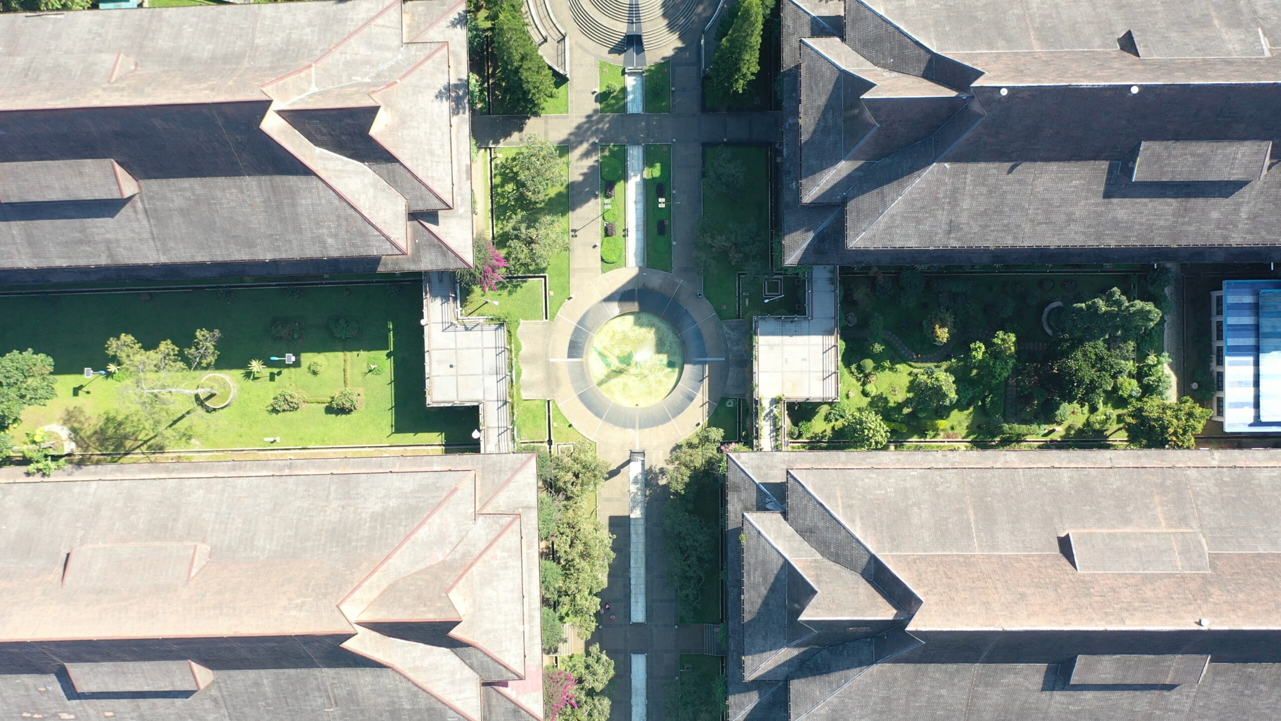
Unlocking a world of possibilities, we offers cutting-edge surveillance services, from geo-mapping to thermal imaging, building inspection, precision agriculture monitoring, and critical rescue support, all powered by autonomous drones.

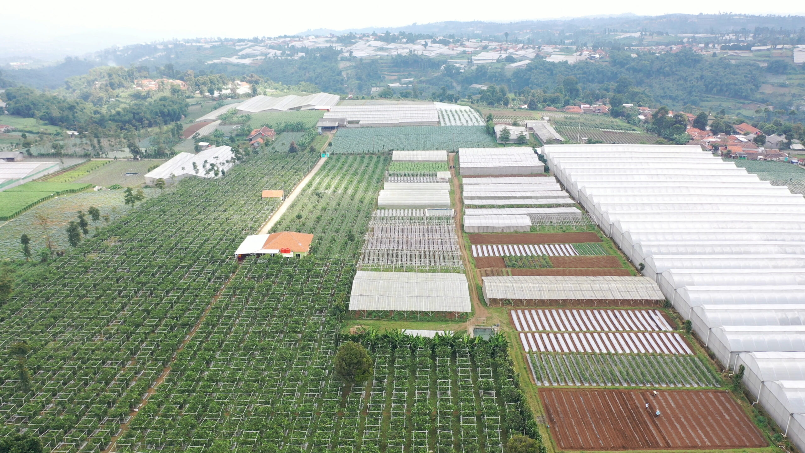
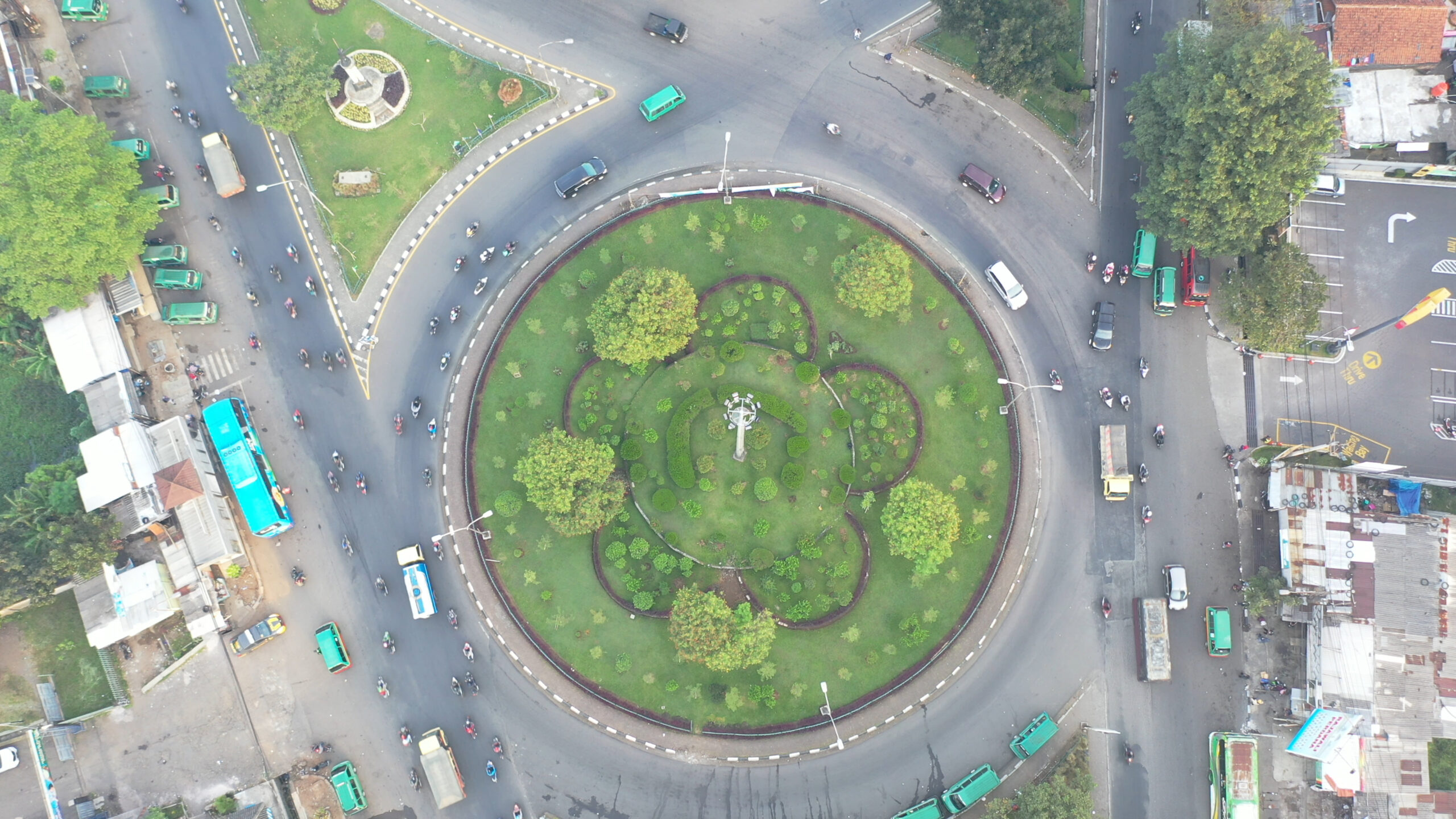
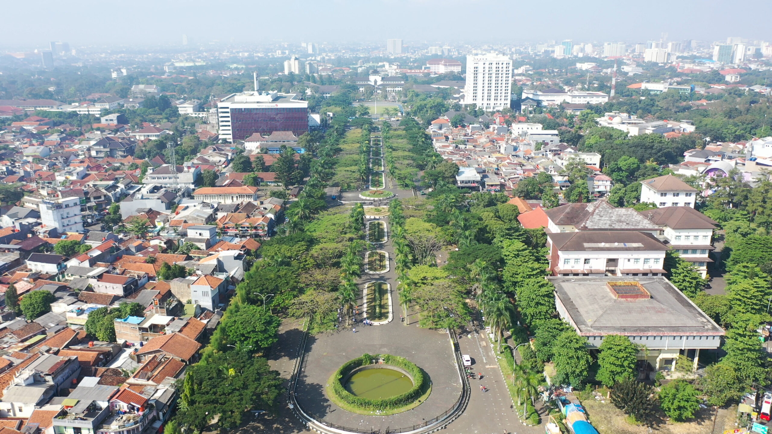
Aerial Geomapping
This technology allows for accurate mapping and modeling of geographic regions, supporting diverse applications such as environmental monitoring, urban development, agriculture, and infrastructure oversight. Geomapping tasks using drone mapping involve several keys :
- Planning: Set flight parameters and define the area of interest for thorough coverage.
- Flight Operation: Deploy the drone to capture high-resolution images or video using cameras and sensors.
- Data Collection: Gather georeferenced data, including images and GPS coordinates.
- Data Processing: Use software to stitch images, create orthophotos, and generate 3D models or digital elevation models.
- Analysis: Examine the processed data to assess terrain, features, and make informed decisions.
- Reporting: Present the findings in detailed reports or maps for stakeholders.
Drone mapping offers high accuracy and efficiency, enhancing various geomapping applications.
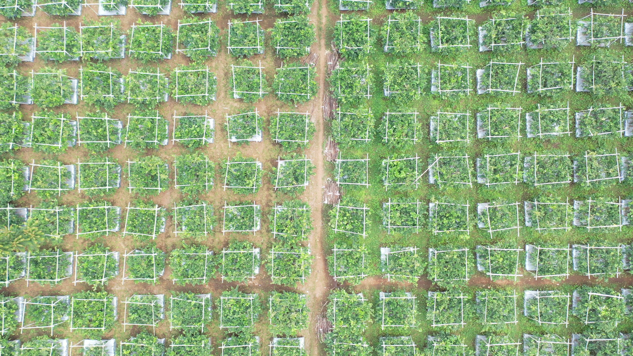
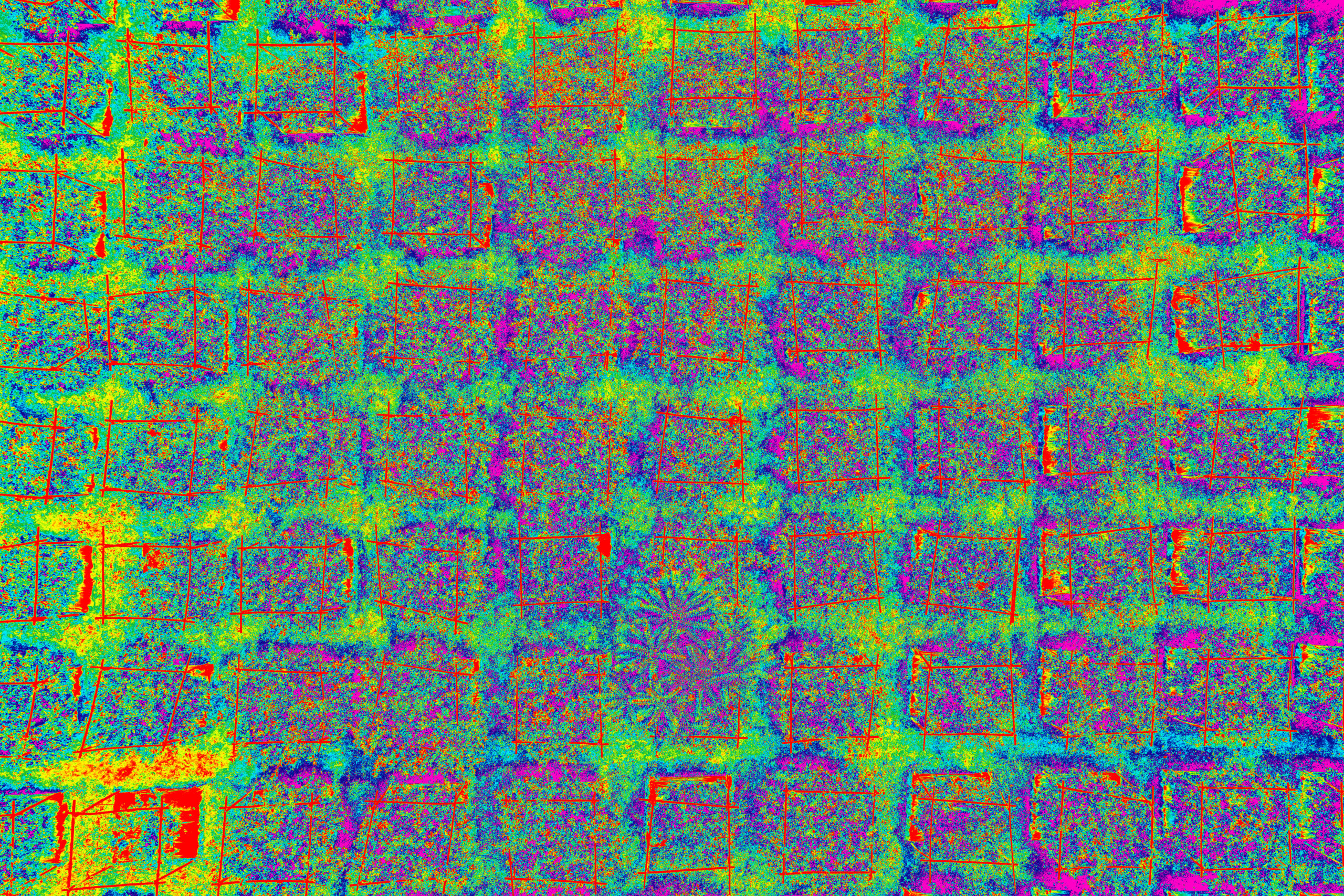
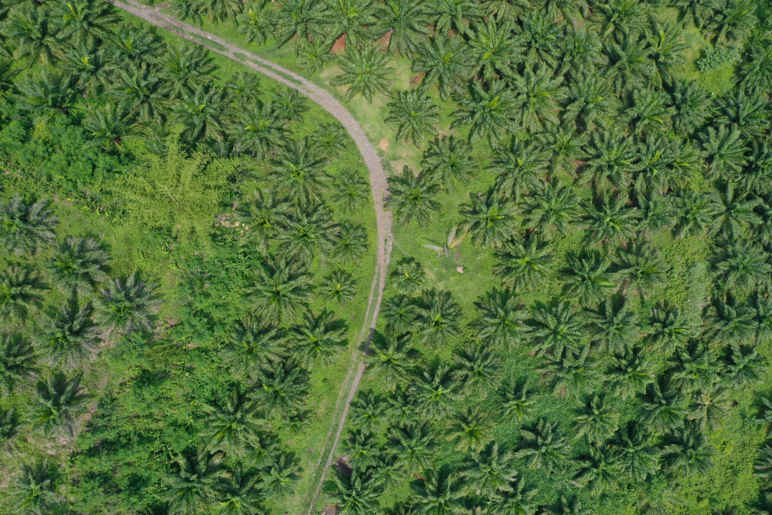
Aerial Agrimapping
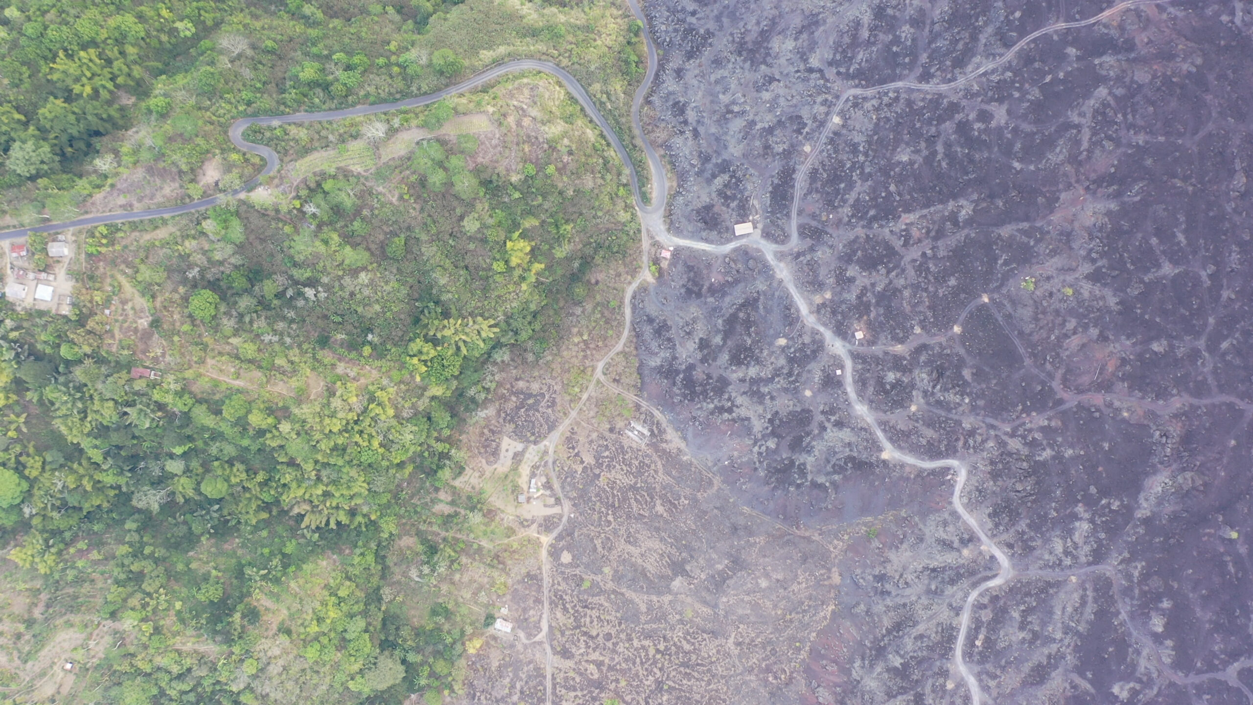
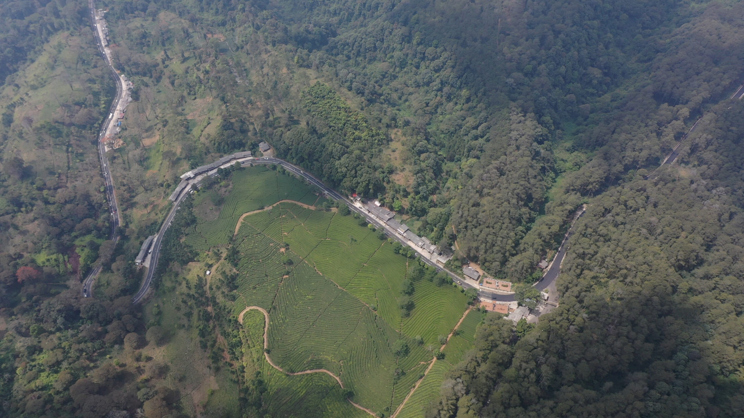
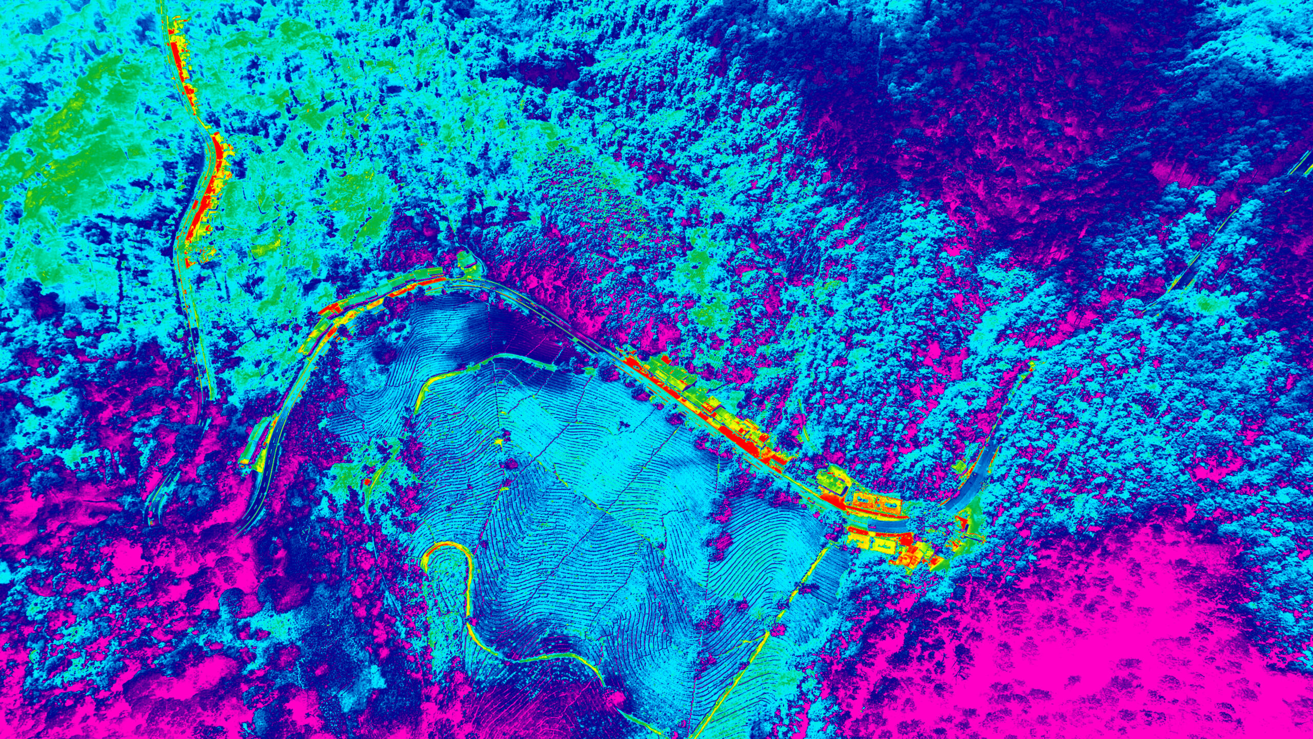
Unlock the future of farming with cutting-edge drone technology. Our drones deliver high-resolution imagery and real-time data to give you a detailed view of your crops and fields. Monitor crop health, track growth, and spot issues like pests or nutrient deficiencies with unparalleled accuracy. Optimize irrigation, fertilization, and overall management with precise, actionable insights. Enhance productivity, boost efficiency, and embrace sustainable practices with our advanced drone mapping solutions. Transform your agricultural approach today—experience the power of precision with drone technology!
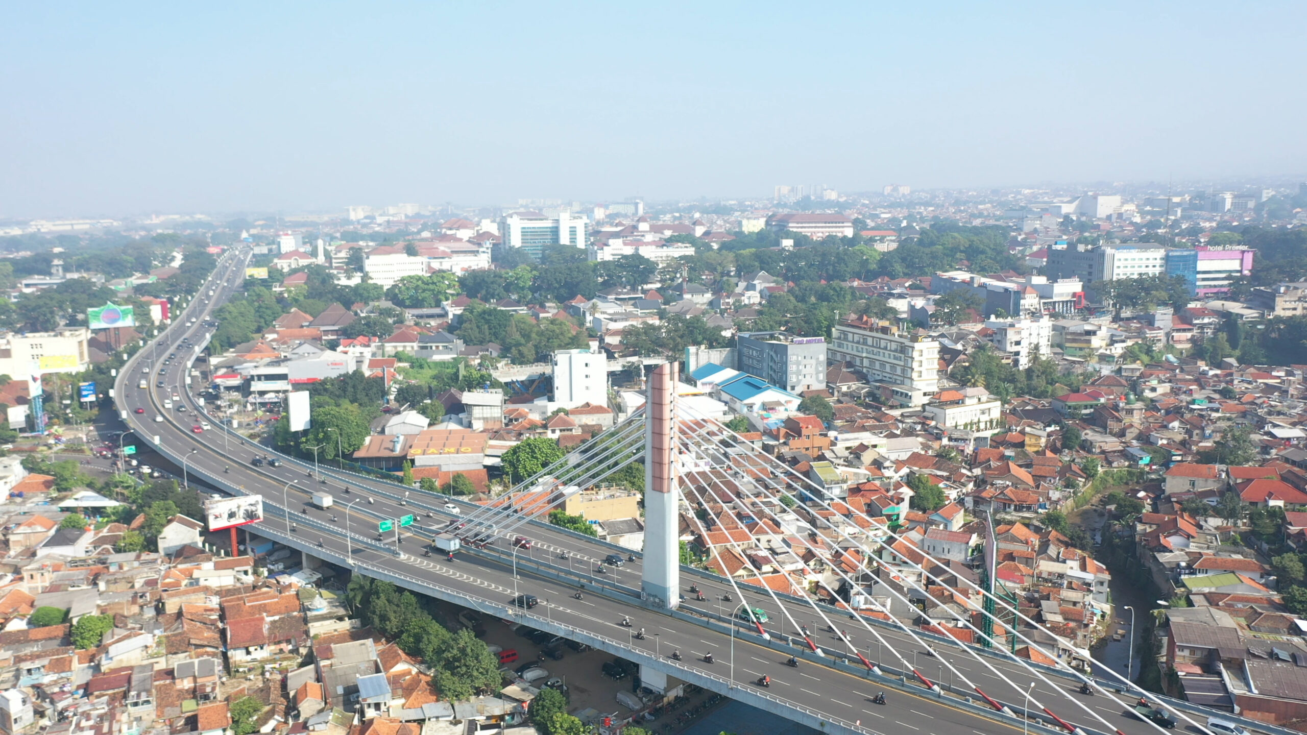
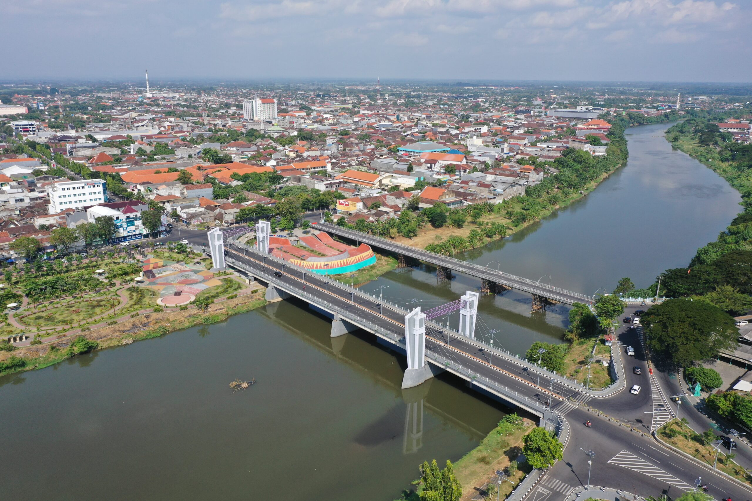
Aerial Infrastructure Management
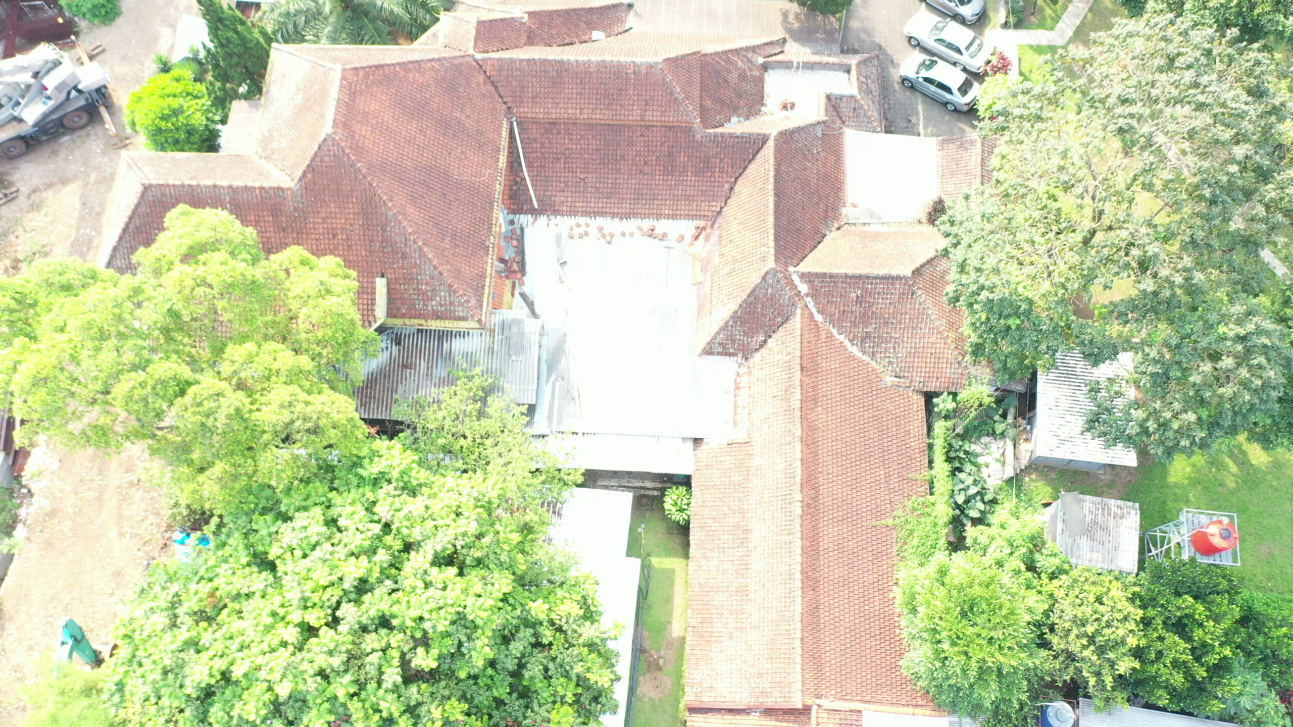
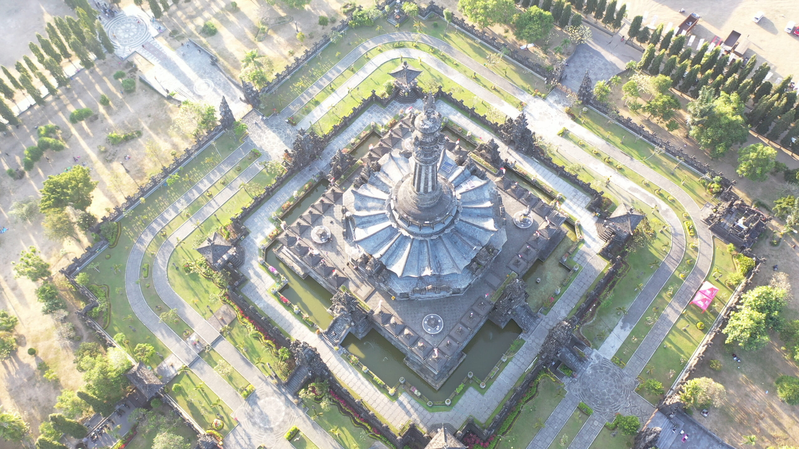
Enhance your infrastructure management with our advanced aerial mapping solutions using cutting-edge drone technology. Our service offers precise, high-resolution mapping and inspection of buildings, roads, bridges, and other critical infrastructure. With seamless integration into our inspection management application, you can easily monitor, assess, and manage your assets from anywhere. Whether you’re overseeing a single building or an entire network of infrastructure, our drone-powered mapping ensures accurate data collection, helping you identify issues early, optimize maintenance, and reduce costs. Experience the future of infrastructure management with efficient, reliable, and comprehensive aerial solutions.
Aerial Search and Rescue Management
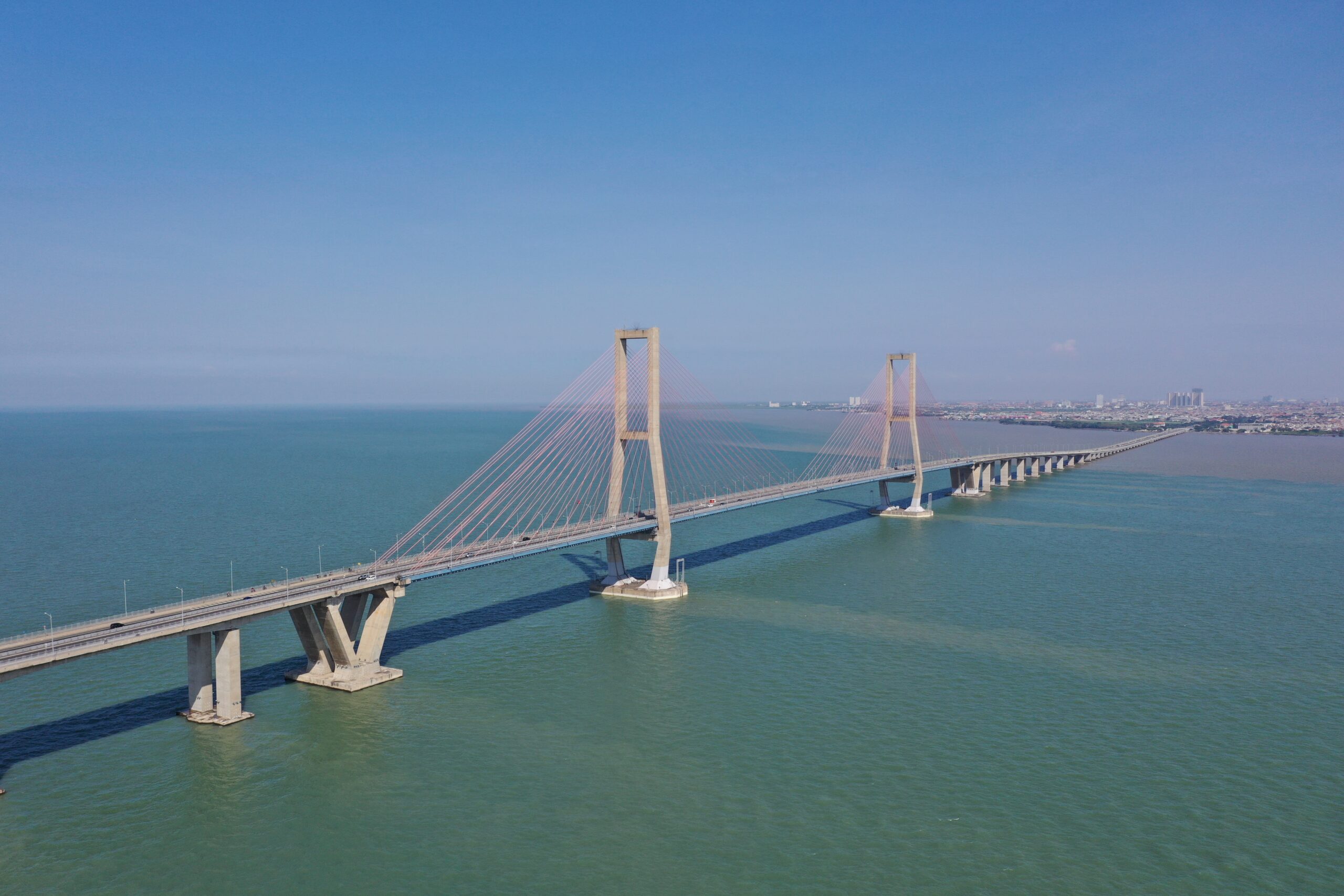
Boost your search and rescue operations with our state-of-the-art aerial mapping solutions. Utilizing advanced drone technology, we provide real-time, high-resolution mapping to locate missing persons and assess disaster areas quickly and accurately. Our service is designed to enhance your response time, improve situational awareness, and ensure the safety of both rescuers and those in need. With precise aerial imagery and data, you can coordinate rescue efforts more effectively, covering large areas in a fraction of the time. Trust our drone-powered mapping to support your mission when every second counts.
Other Aerial Surveilance
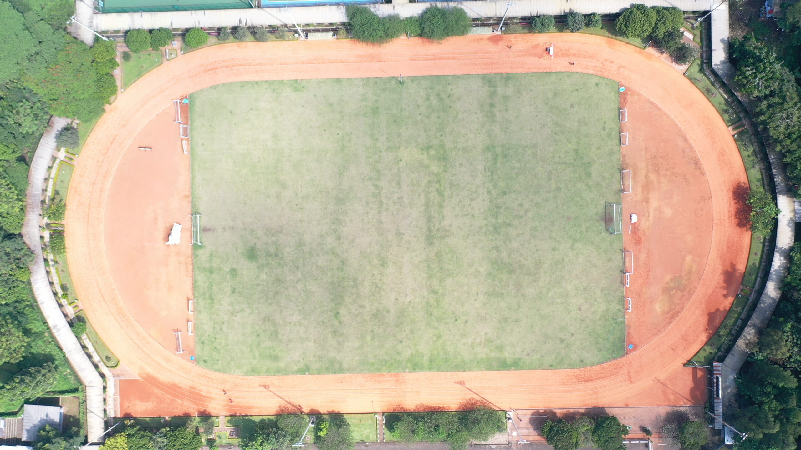
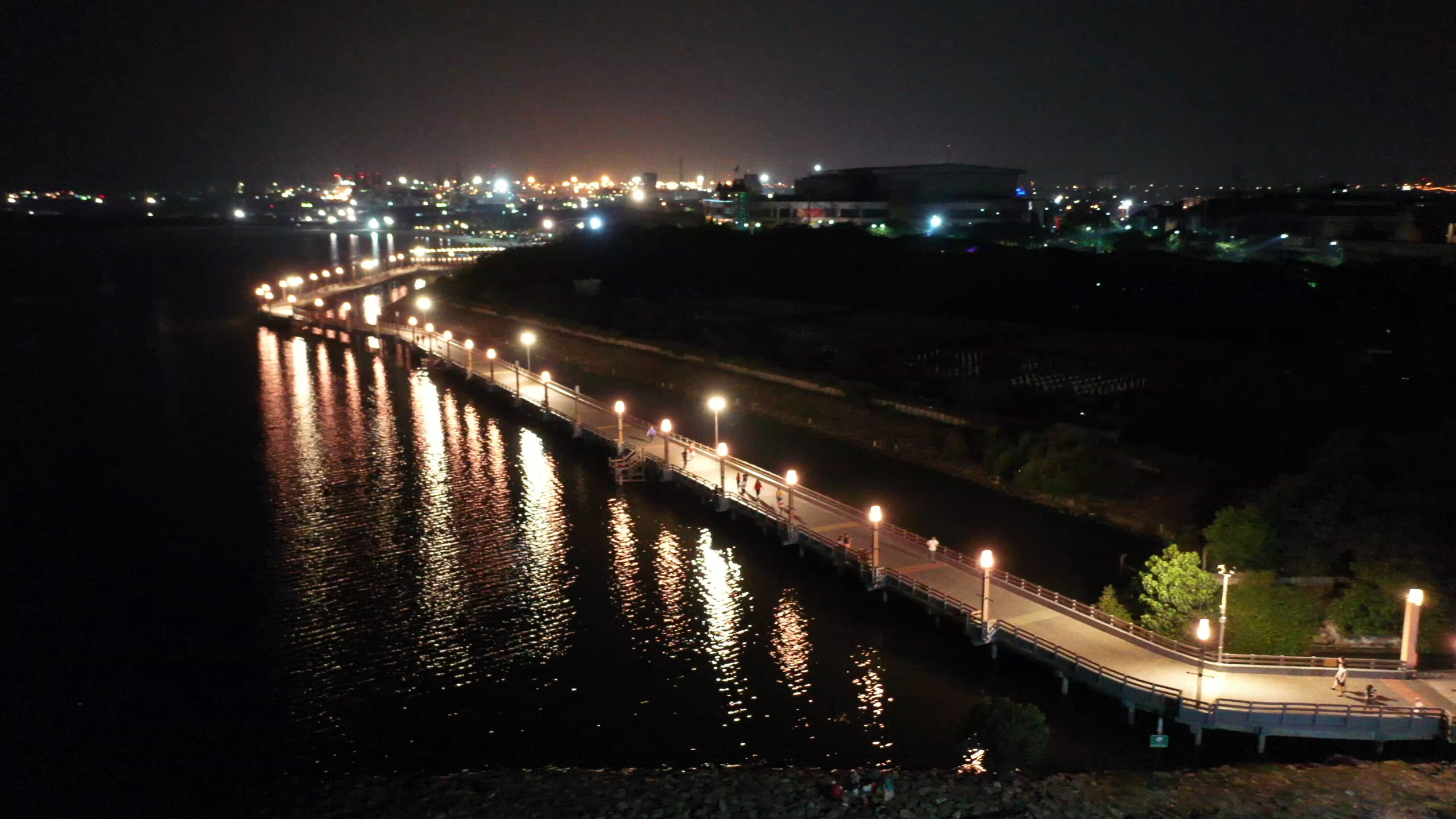
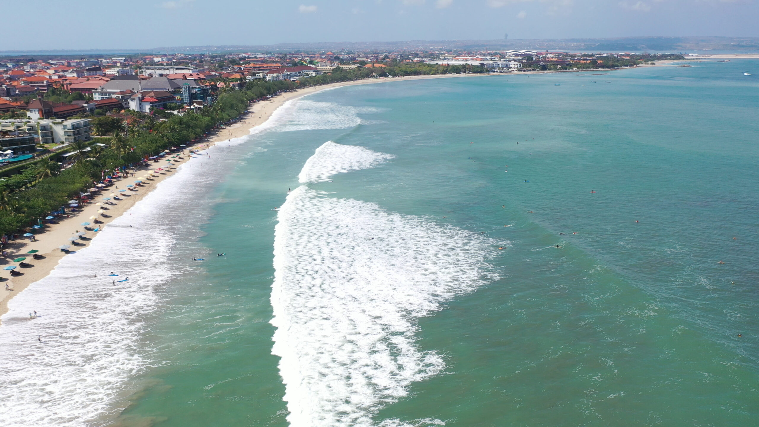
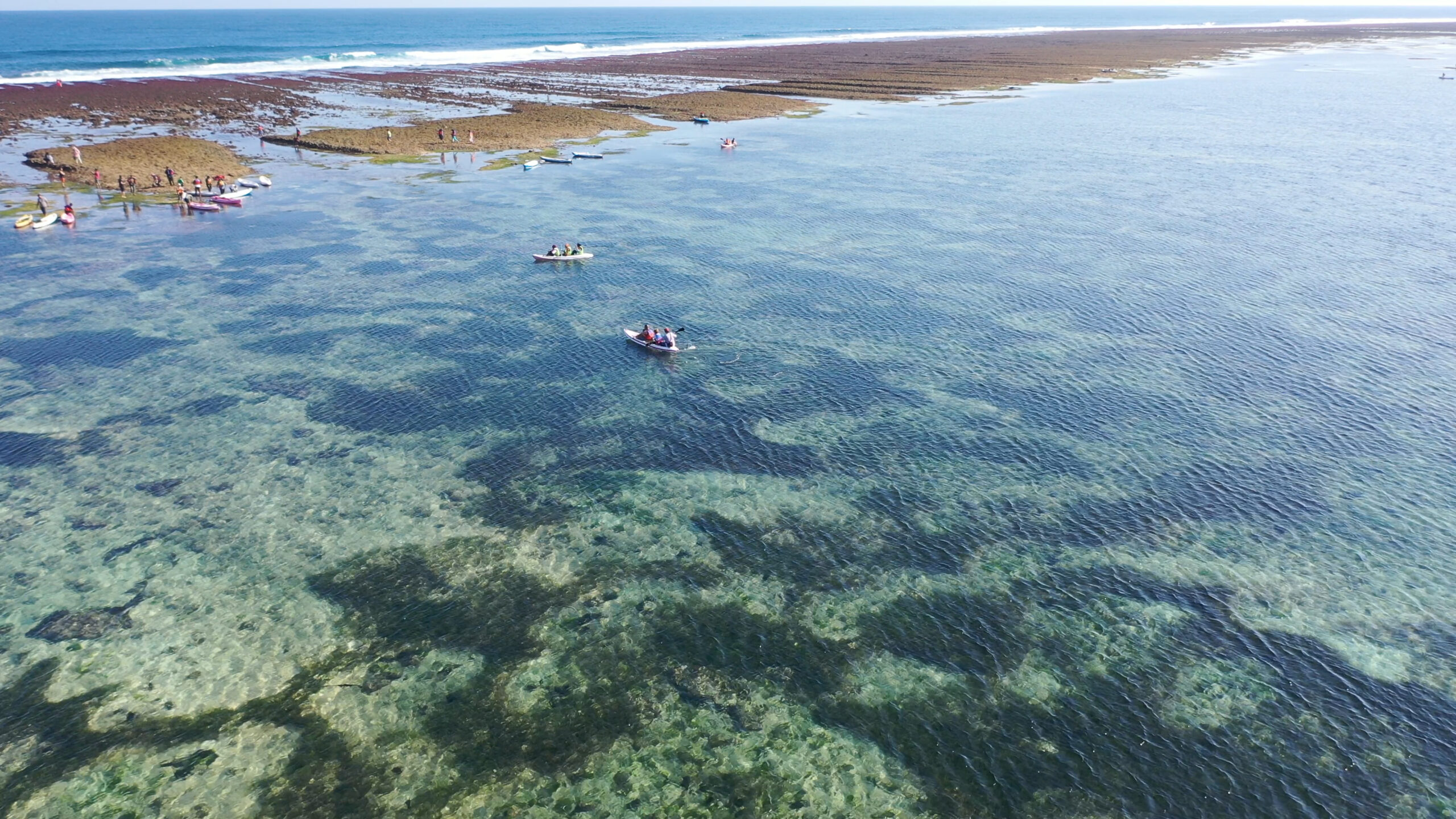
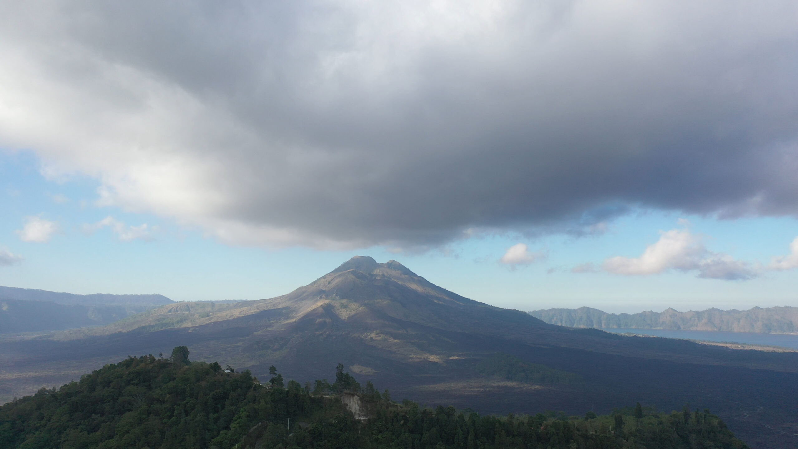
Elevate your entertainment, sports, and marketing videos with stunning aerial footage captured by our cutting-edge drones. Whether you’re showcasing an event, highlighting a sports performance, or creating dynamic marketing content, our drone services deliver breathtaking, cinematic shots from unique perspectives. Perfect for capturing the energy and scale of any occasion, our drones bring your vision to life with smooth, high-definition video that captivates your audience. From live events to promotional campaigns, our aerial drone services provide the creative edge you need to stand out. Let us take your videos to new heights with professional, eye-catching aerial footage.
Our Innovations
Industry Focused Products!
Aerial Geomapping


Aerial Agrimapping
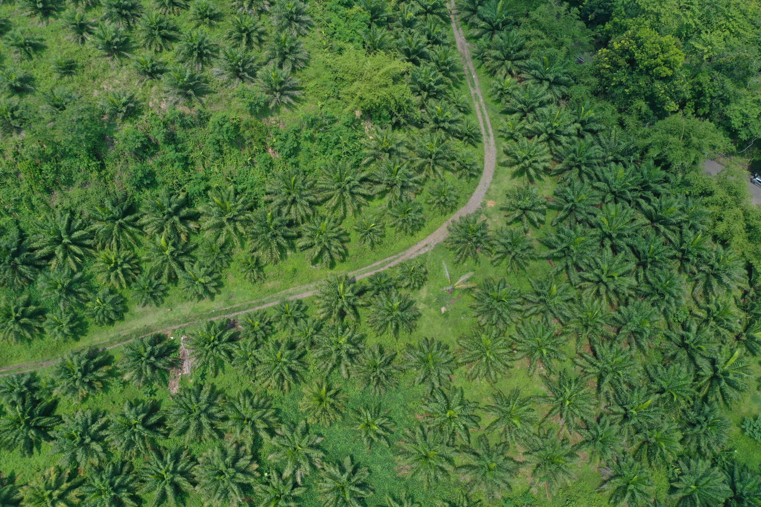


Aerial Infrstructure Management
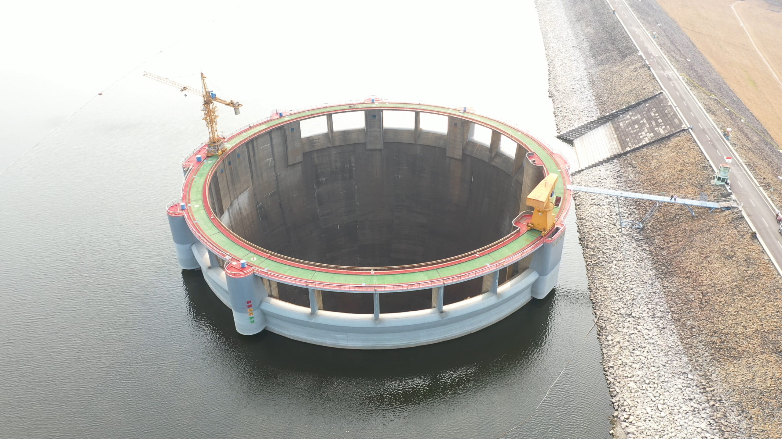
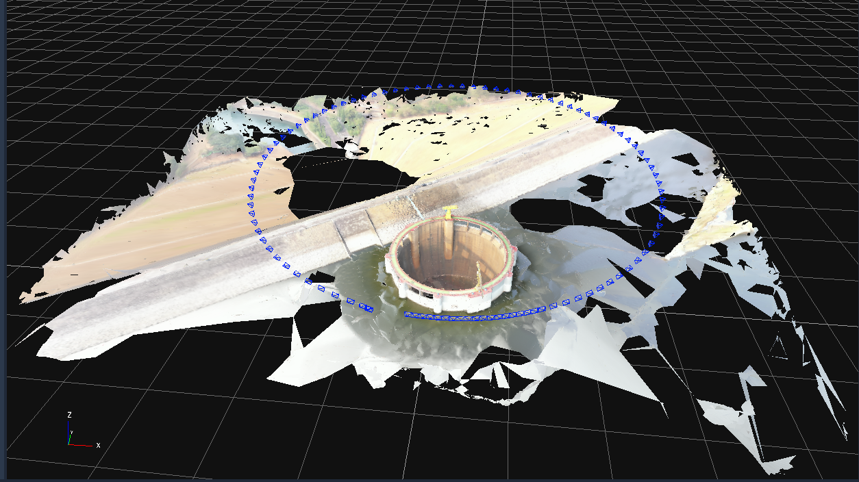
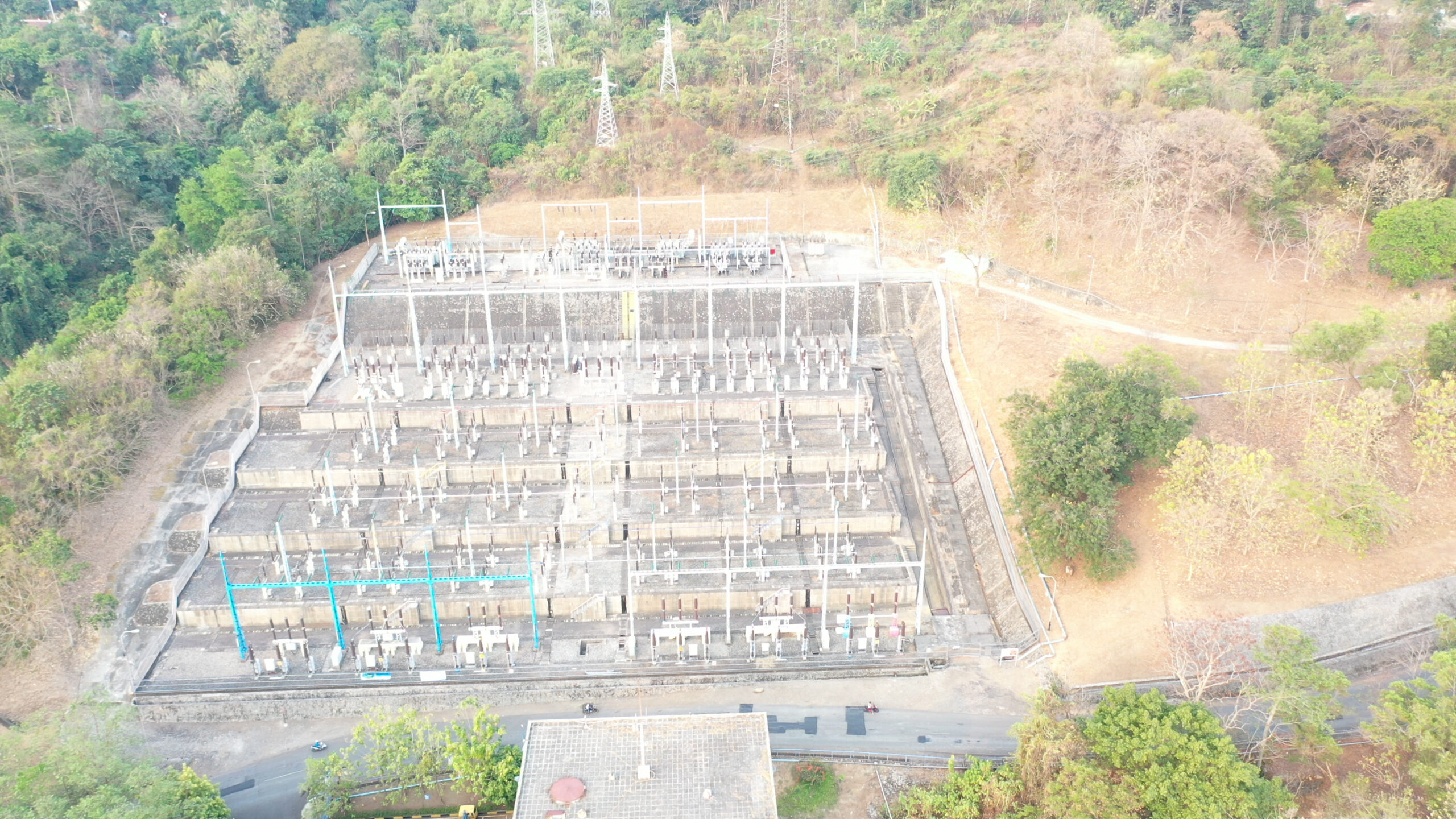



Aerial Search and Rescue Management


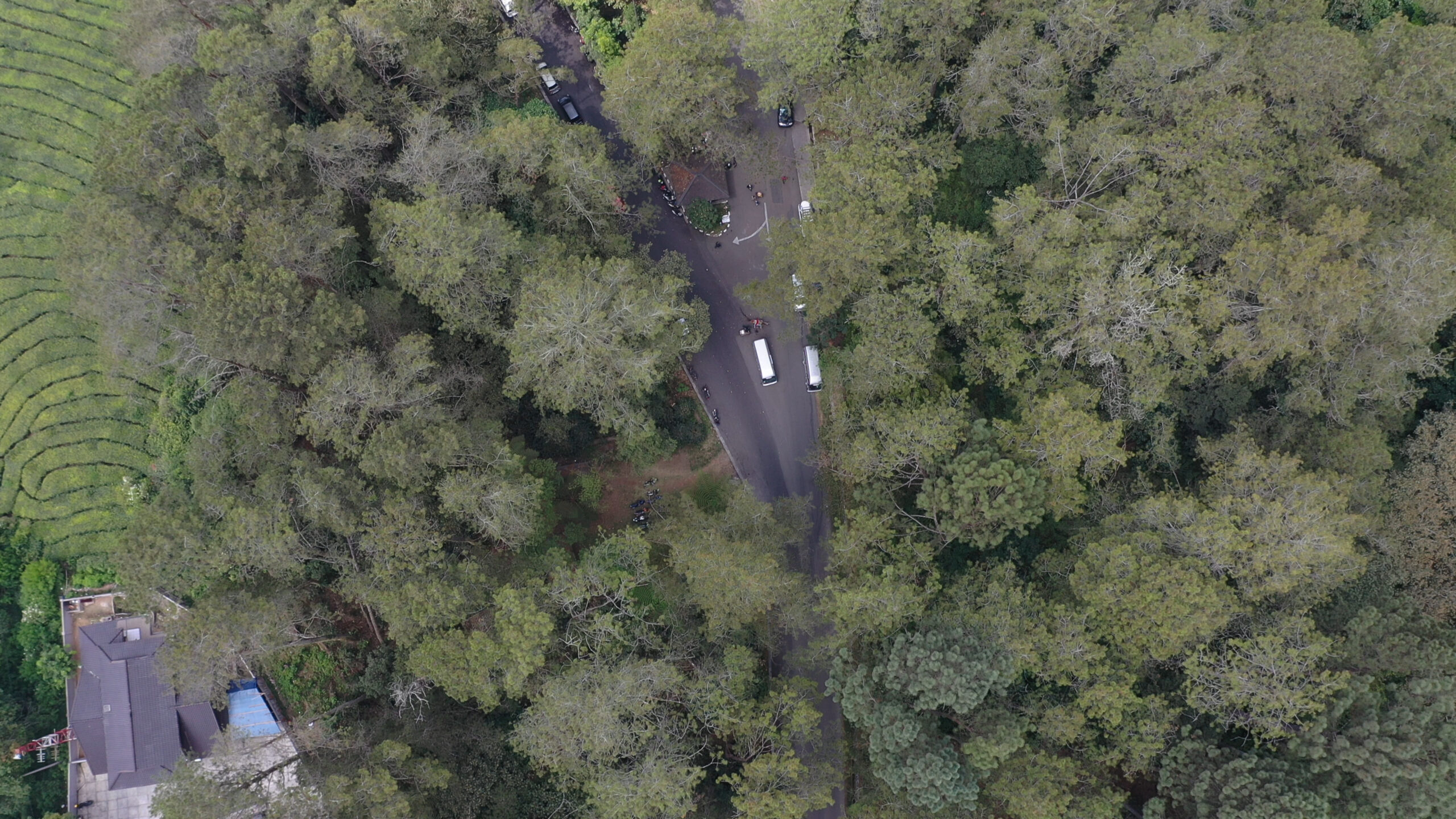
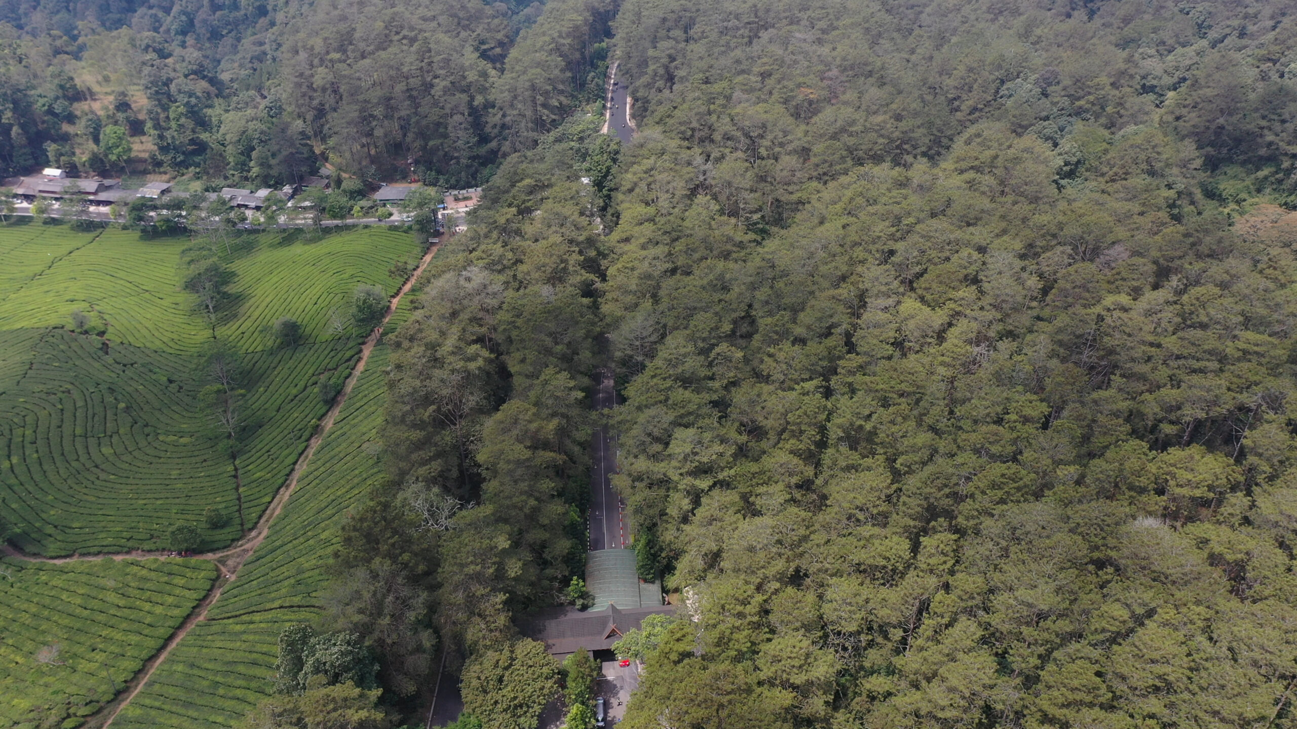
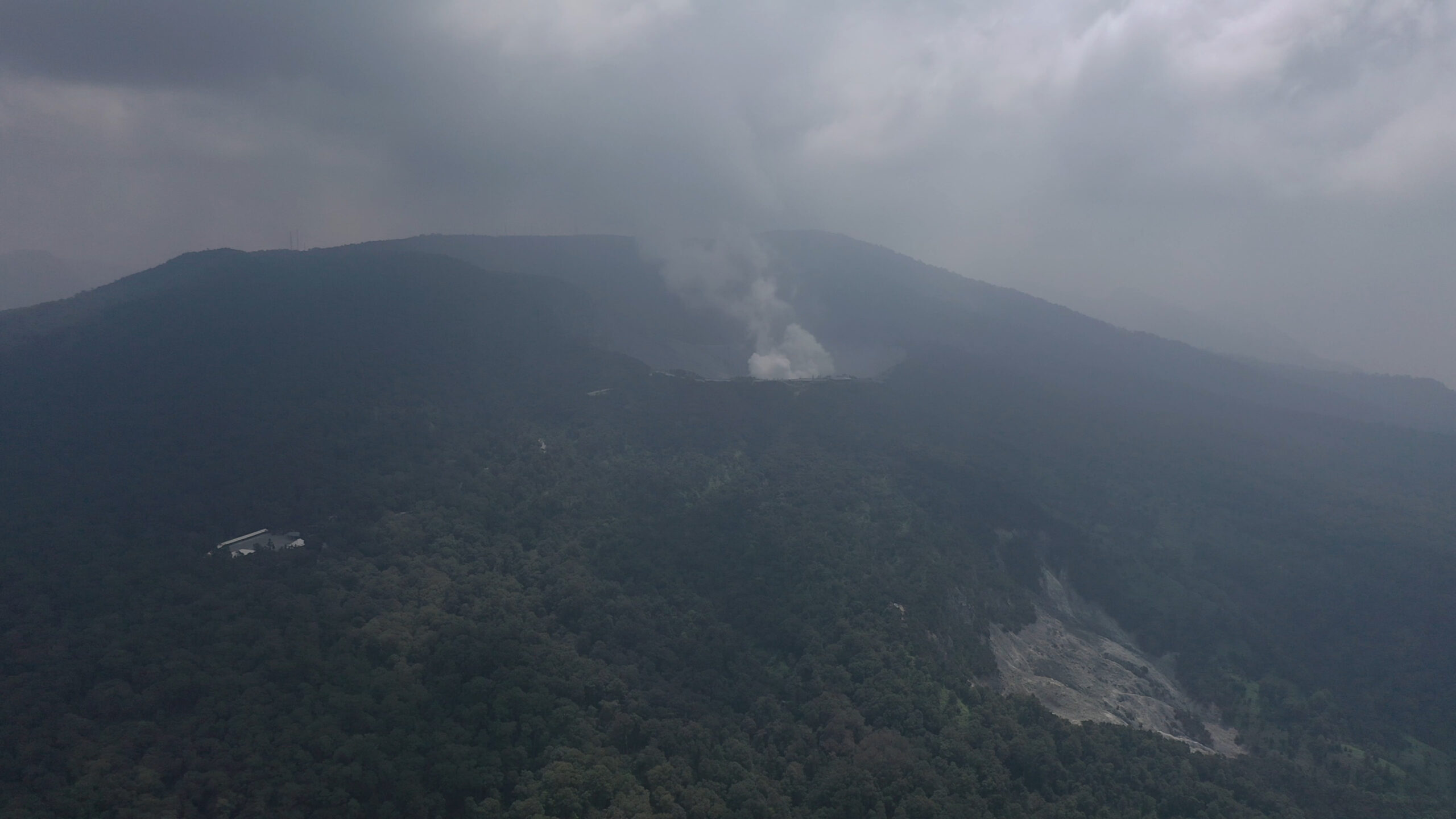
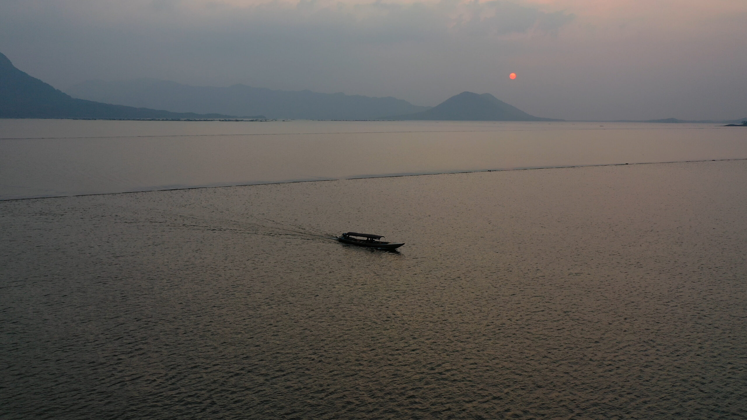
Other Aerial Surveilance

